|
Almost-Daily Diary http://www.chainreactionblogs.com/diary/2017/03/19/push-this-button-or-another-one-of-your-roads-will-fail/ Export date: Sun Nov 24 4:49:35 2024 / +0000 GMT |
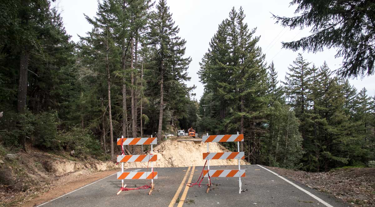
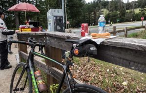
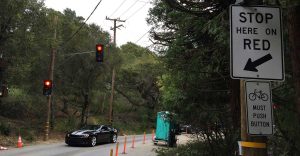
Push this button or another one of your roads will fail! I headed south with a route through the foothills, dropping by our Los Altos store to say hi, before heading up one of the local roads I most-dread. Redwood Gulch. That was another opportunity to check out a heavily-damaged local road although it really didn't seem that bad. Not much water on the road, and just a couple places where it was slightly narrower than normal. Redwood Gulch has actually been on the county's list of "closed" roads, but there was no signage indicating that. It wasn't a pretty climb, but I survived. Sometimes that's enough. Lots of hillside slippage evident climbing Highway 9, including a short section of traffic-light-controlled one-way pavement. A little bit tight for bikes and cars together, but manageable, and it's not too long. The really good news was that Mr Mustard was present at Saratoga Gap. I debated briefly whether I ought to fuel up before going off to see the missing roadway, or after. The decision was made when a young guy in team kit pulled up, and I had a bit too much pride to want to be seen eating something as healthy as a hot dog in front of him. So off I went, past the signs that said "Road closed 2 miles." I didn't really know how far it was going to be, so I was a bit relieved it was just two miles. Well, 3.7 miles later I found it. It's not like you can miss it... one set of barriers about a thousand feet away (stops cars but not bikes), and another set, with a fence, about 20 feet from where the road ends. I took some photos through and over the fence before going around the left side to get a bit better shots from the other side. It's not like I came anywhere close to the edge though! Just didn't want the fence in the photo. After that it was a mostly-downhill ride back to Saratoga Gap and Mr. Mustard! I did have a minor incident with a car on the way; a group of young guys drove past me pretty close, with someone deciding it would be fun to tap me on the back as they passed, while someone in the front seat was taking a photo. Idiots, yes, but I'm pretty tough to rattle.  So of course, right as I pull up, so do another young cyclist, in racing kit, and I'm thinking yeah, whatever, I'm having my hot dog anyway. I'm not that proud. Funny thing... the kid ordered one too! So of course, right as I pull up, so do another young cyclist, in racing kit, and I'm thinking yeah, whatever, I'm having my hot dog anyway. I'm not that proud. Funny thing... the kid ordered one too! I was a bit surprised, looking at Strava telling me my run across Skyline, from Saratoga Gap to 84, was my personal best. It didn't feel that fast. Descending 84 from Sky Londa, I checked out the mythical "driveway route" that exits from the northern side of the building with the general store. It bypasses the first of the two one-lane signal lights on the 84 descent, which could save a bit of time. Unfortunately, you've got to thread your way underneath a gate and pass more than one "no trespassing" sign before you can get where you need to be. A better option would be to hike over a small barrier that prevents traffic from Skyline using it as an alternate route; that barrier's location can be seen here 1.  Either way does get you past that first light, and in front of the second one where I noticed, for the first time, the signage that says "BICYCLES MUST PUSH BUTTON." Must??? I mean, what happens if I don't? I brought it up later with my son, who says that sign has been up there ever since the signal went in. Maybe I noticed it this time because I had plenty of time waiting for it to turn green and there were no other cars in front or behind me. Either way does get you past that first light, and in front of the second one where I noticed, for the first time, the signage that says "BICYCLES MUST PUSH BUTTON." Must??? I mean, what happens if I don't? I brought it up later with my son, who says that sign has been up there ever since the signal went in. Maybe I noticed it this time because I had plenty of time waiting for it to turn green and there were no other cars in front or behind me. |
Links:
|
|
Post date: 2017-03-19 23:43:11 Post date GMT: 2017-03-20 06:43:11 Post modified date: 2017-03-20 00:52:57 Post modified date GMT: 2017-03-20 07:52:57 |
|
Export date: Sun Nov 24 4:49:35 2024 / +0000 GMT This page was exported from Almost-Daily Diary [ http://www.chainreactionblogs.com/diary ] Export of Post and Page has been powered by [ Universal Post Manager ] plugin from www.ProfProjects.com |