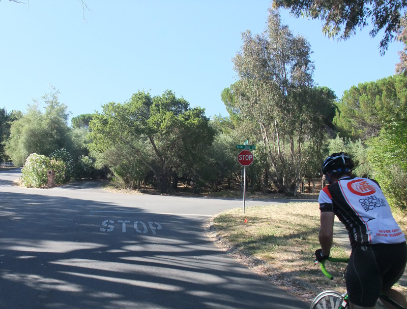
It’s hard coming up with something new & fun after living and riding here since… well, pretty much since the dinosaur (I started doing longer bike rides around 1967). But today I think I put together a pretty nice one. As with all my rides, they start at the center of the Universe, that being Canada Road & Olive Hill, just north of Woodside. Why? Because it’s a couple miles from where I live and is the start/finish of the Tuesday/Thursday-morning ride.
You can view the ride on BikeRouteToaster here, and also download it from that site directly to your Garmin computer!
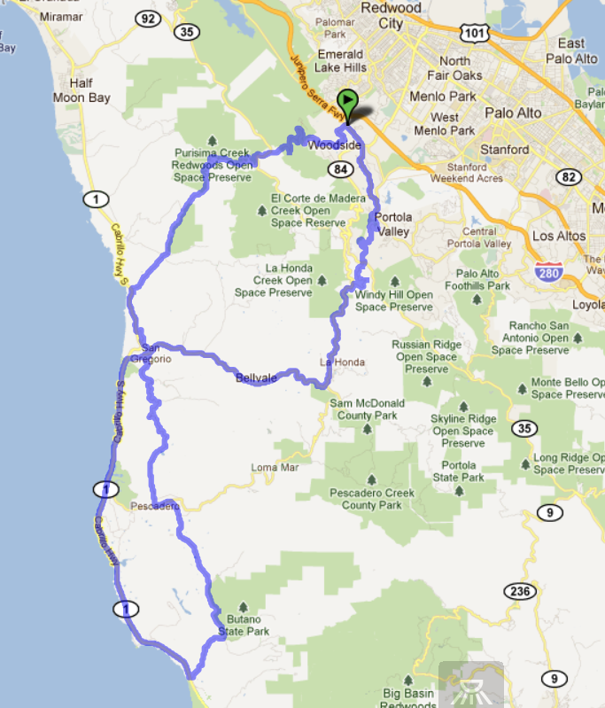
In a nutshell, this ride starts in Woodside, goes over Old LaHonda to the coast, then south on Highway 1 to Gazos Creek, north on Gazos Creek to Pescadero, Stage Road to San Gregorio and then Highway 1, and then Tunitas/Kings to get back to Woodside.
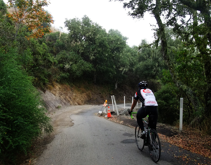
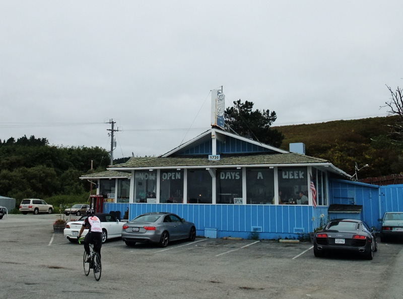
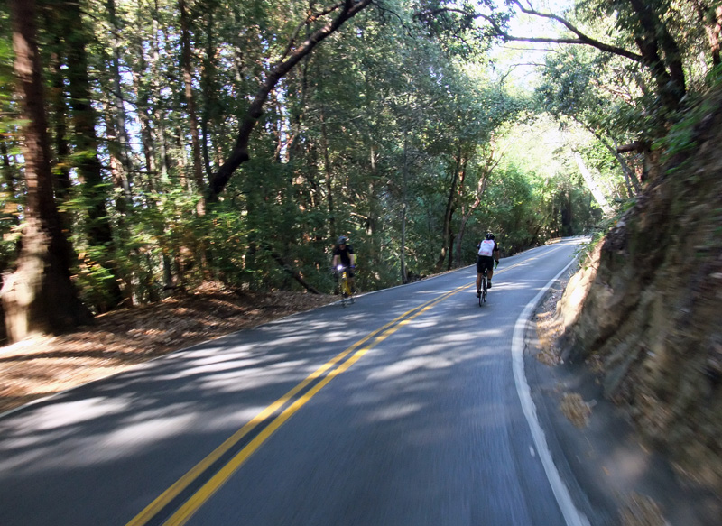
We started late (as usual), Kevin had one of his all-too-common seizures on Old LaHonda (again, as usual, although we were hoping that keeping his heart rate below 170 would keep that from happening), had a light headwind going out to the coast (as usual), and a pretty nice run south to Gazos Creek, where we ate at the Gazos Creek Grill (highly recommended!) before returning.
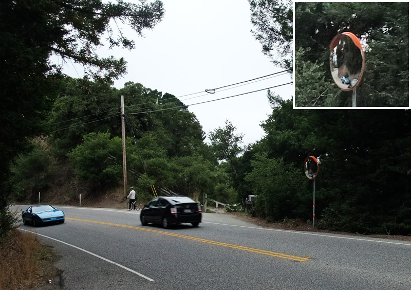
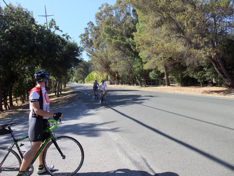
Not too many cyclists out on the coast side today, but those we did see were often on bikes we sold, and that always makes me feel good! But what really made me feel good was getting up Tunitas even faster than last week, despite, or perhaps because of, a bee or yellow jacket that stung me on the neck at the base of the climb. Kevin and I stopped for less than a minute to make sure there was no stinger to be removed, after which I flew up the hill with legs that felt stronger than they have in years. Maybe it was actually a radioactive spider that bit me, like Peter Parker (Spiderman)? More likely it was a desire to get back before any nasty swelling might set in. But whatever it was, Kevin hung on pretty well, and the 48:44 time was his best so far. More soon.
This page might be a bit messy right now as I’m trying some new things. Within a day or two it should be cleaned up. –Mike–
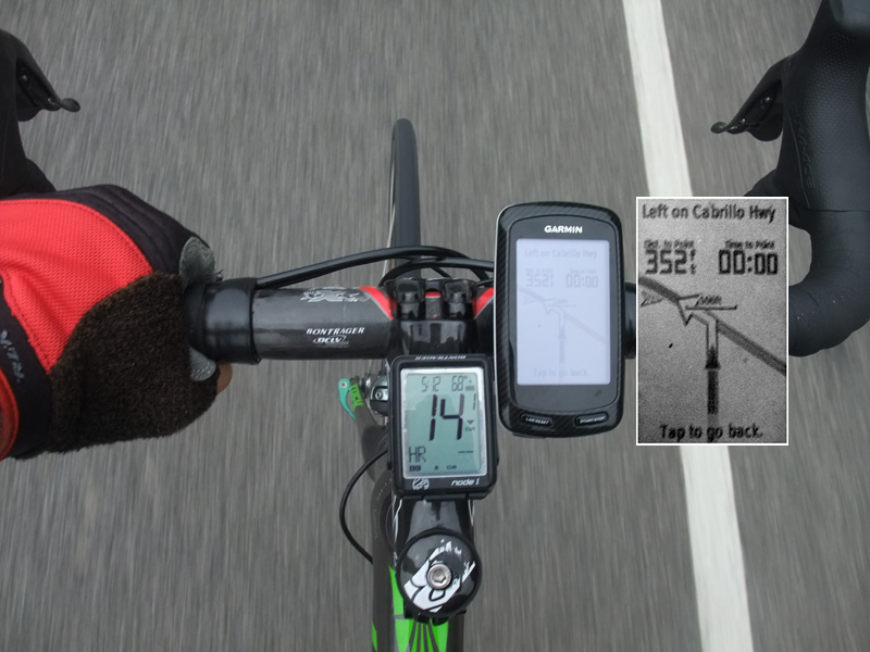
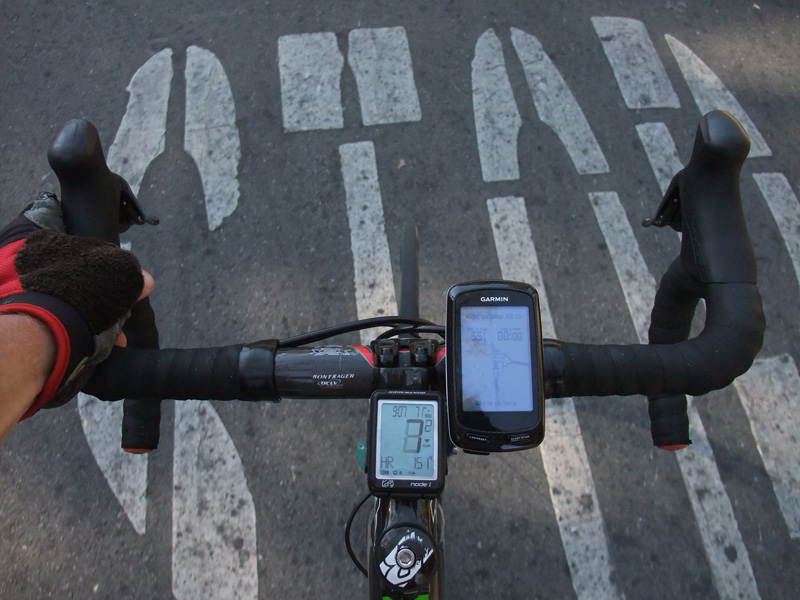
The overall ride views on a Garmin Edge 800
We
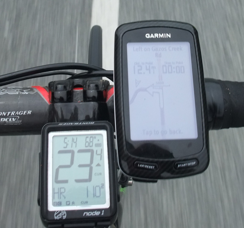
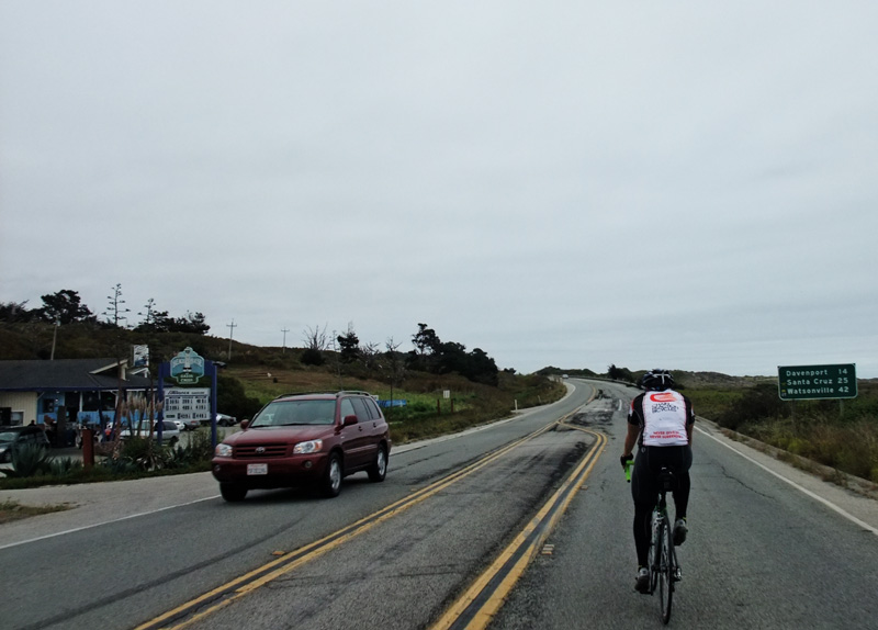
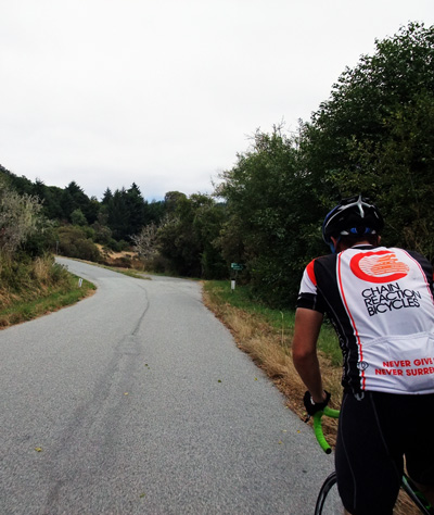
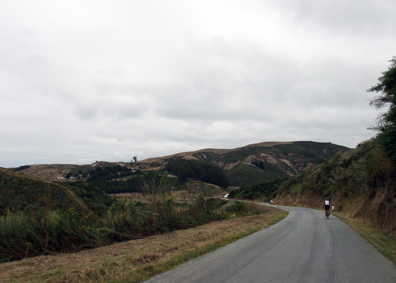
Turning onto Highway 1 for the run south to Gazos Creek. How far? We
After turning onto the coast, the Garmin computer tells us it will be 12.4 miles to the next turn.
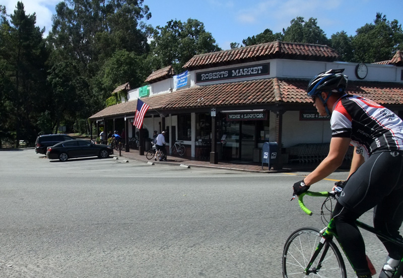
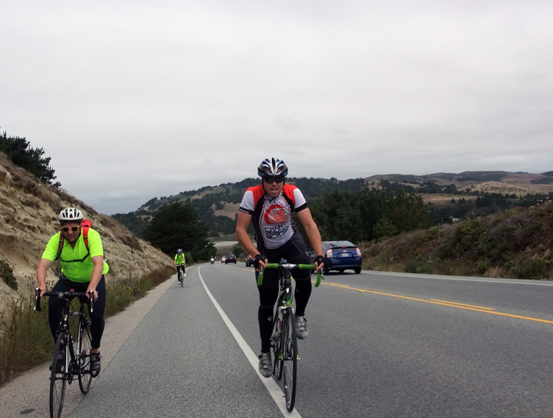
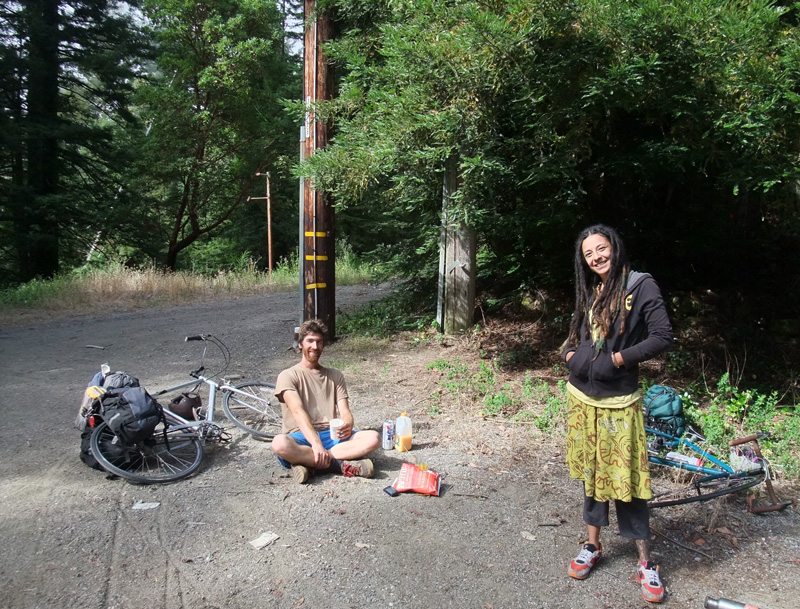
We saw quite a few people we’ve sold bikes to, including this couple on the coast
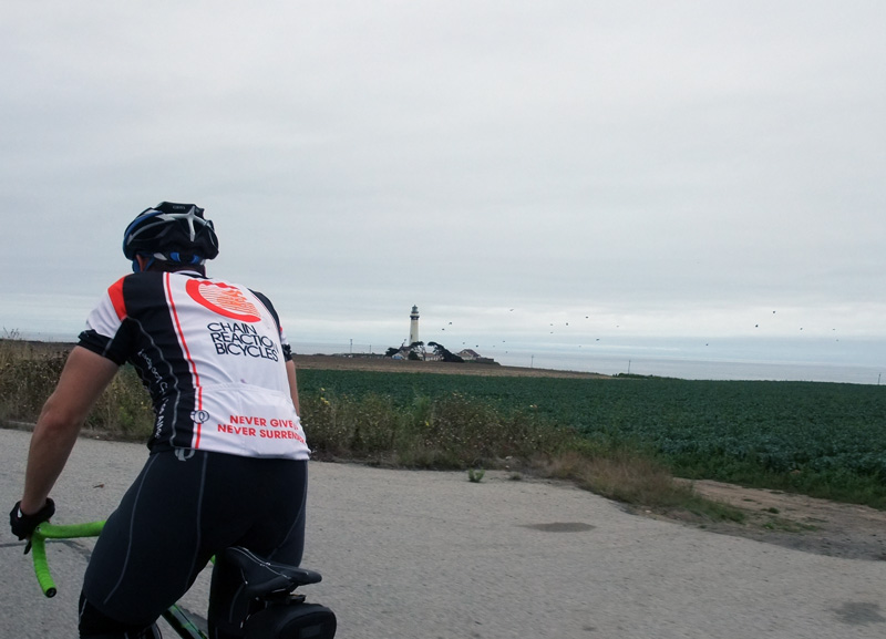
Pigeon Point’s historical lighthouse
Today it looks like even always-sunny Santa Cruz might be overcast
This is as far south as we go today. If we were riding to Santa Cruz, we’d be in Davenport in 14 miles and eat at the Whaler Cafe.
The Gazos Creek Grill is a great place for lunch; if you’re just looking for a snack, hit up the Pescadero Bakery on the way back instead.
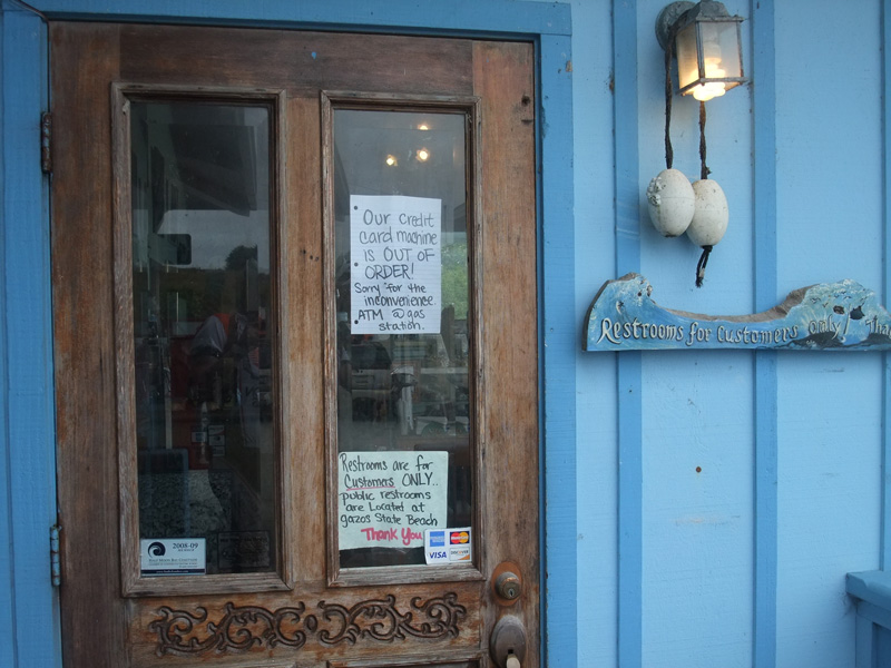
Normally they take credit cards but not today; we had to use the ATM at the gas station next door ($2.50 service fee)
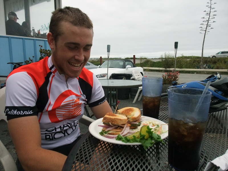
Kevin ordered a Pesto Chicken sandwich and a Coke.
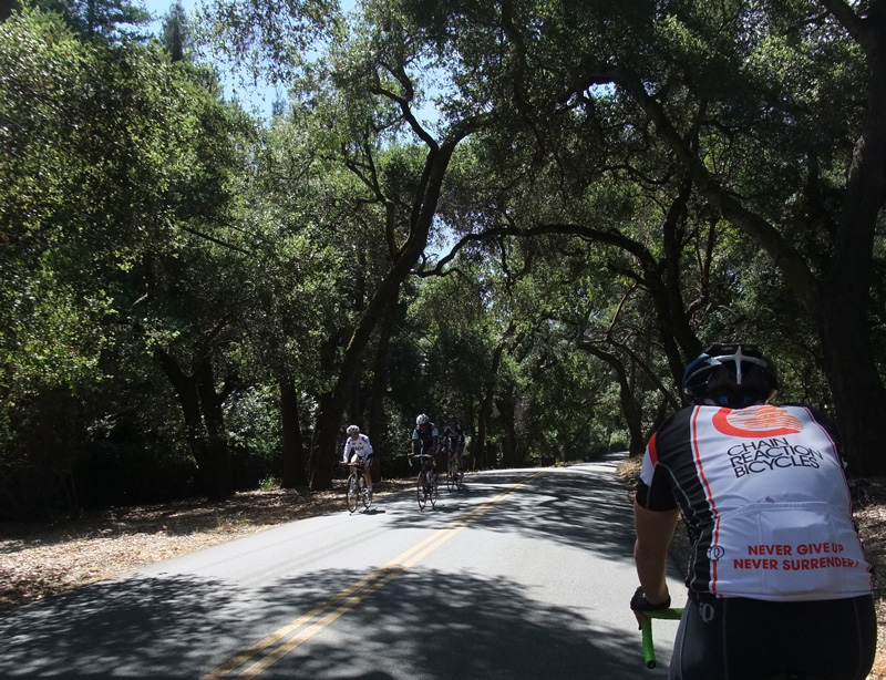
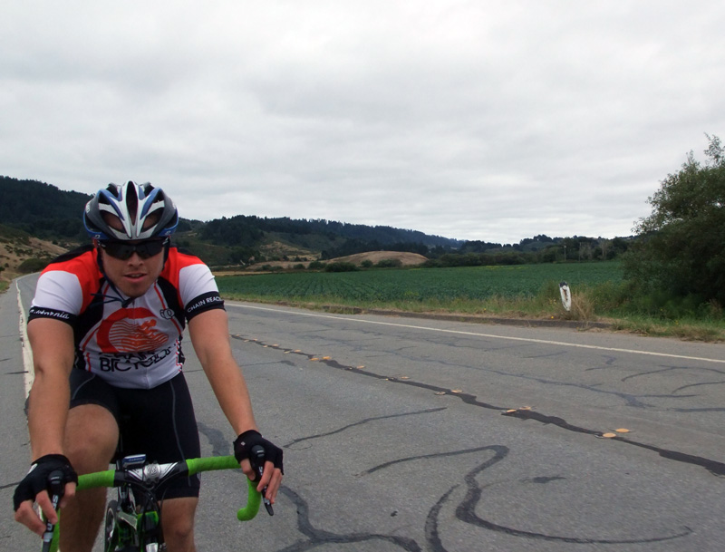
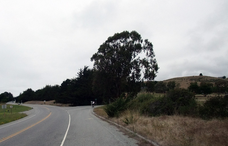
Heading north on Gazos Creek, before it becomes Cloverdale. On a windy day, this route is much easier than the coast.
Looking back at Cloverdale Road as you approach Pescadero
Normally there’s a mandatory stop at the Pescadero Bakery, but not when you’ve had lunch at Gazos Creek.
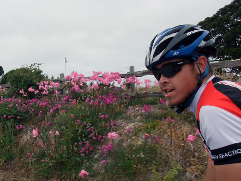
Kevin remarking that these flowers on Stage Road are called “Naked Ladies” because they have no leaves
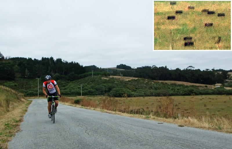
You can tell we’re not in France because the hay bales are square, not round
Heading towards the second climb on Stage Road between Pescadero & San Gregorio
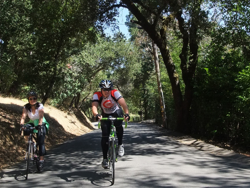
Kevin showing off his new bike on the climb up Stage Road to Highway 1
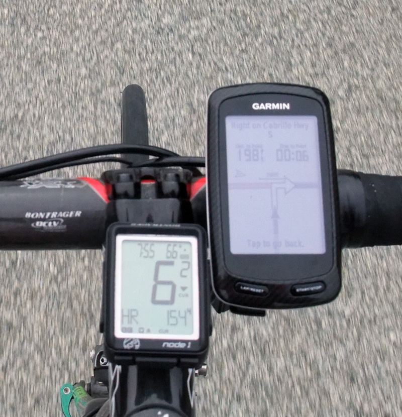
The Garmin Edge 800 displaying its turn-by-turn directions yet again
The coast is *not* clear but still an impressive view!
Kevin making the turn onto Tunitas Creek. This is where you start your clock.
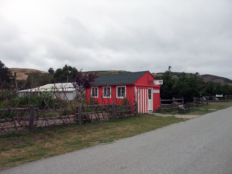
The “Bike Hut” on Tunitas, about a mile in from the coast. Water & food is available for purchase.
Kevin approaching the Tunitas Creek “Bridge of Death” that marks the beginning of the steep section
For us a 70 mile ride is no big deal; for these folk it’s a real adventure, including a celebratory beer at the to of the final climb
Bikes up, bikes down on Kings Mtn
Approaching the final turn, which is also the location of the final sprint on the Tuesday/Thursday ride
“Course Complete, You Win!” on the Garmin’s display
The end of the ride, Olive Hill & Canada Road
One thought on “Darned good 70 mile ride starting in Woodside!”
Very nice, There is somthing about being stung by a bee. I got stung by a bee at the end of the Davis Livestrong ride this year(106 miles). Those last 5 miles, i felt like i could do anything and sprinted to the end. A real Honey Stinger will get you moving!!!!!!!
 It’s hard coming up with something new & fun after living and riding here since… well, pretty much since the dinosaur (I started doing longer bike rides around 1967). But today I think I put together a pretty nice one. As with all my rides, they start at the center of the Universe, that being Canada Road & Olive Hill, just north of Woodside. Why? Because it’s a couple miles from where I live and is the start/finish of the Tuesday/Thursday-morning ride.
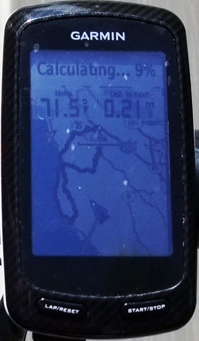


Very nice, There is somthing about being stung by a bee. I got stung by a bee at the end of the Davis Livestrong ride this year(106 miles). Those last 5 miles, i felt like i could do anything and sprinted to the end. A real Honey Stinger will get you moving!!!!!!!