All posts by Mike

No photos, no proof… I know… straight from the movie Duel!

Argh. Normally I could care less about the camera I have mounted aft (I probably never used “aft” prior to taking my wife on a couple of cruises), but today… I’ve got a camera back there, part of the Garmin Vaira 715, but the problem is that it loops what it records, and holds less than two hour before it starts recording back over itself. Time to put a bigger card in that thing!

And what would I have been able to show with that video? Hard to believe, but slow as I am climbing Kings, there was an orange road maintenance truck that was very slowly climbing Kings behind me (OK, us, I was riding with Kevin), maybe a 200 meters behind. It felt like it was just gradually creeping up on us, and the noise it was making… you could hear it easily around the corners. It sounded just like the big old diesel tank truck from the movie Duel. If I’d been just a little bit faster, I could have gotten away from it. Just a little bit slower and I could have pulled off to the side of the road and let it go.

But no. That darned thing seemed perfectly matched for my capabilities today. This must have gone on for 10 minutes! Well seemed like that anyway, maybe it was just 5. Somehow we made it to the top still ahead of it, turned left on Skyline and never looked back. Seriously, I did not look back to see if hit the top, which in hindsight seems kind of strange? What I do know is that, after heading south, we couldn’t hear it anymore. Thank goodness.

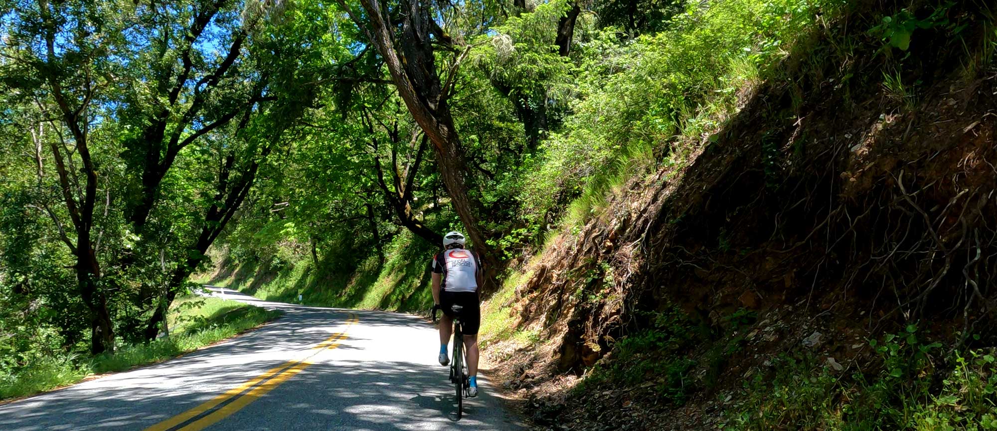
Today was a copy of Tuesday’s ride, which I didn’t write about. South on Skyline to the Skegg’s parking lot (scenic overlook, which hasn’t been very scenic the past 15 years or so as the trees have grown in), then reverse course, west on Swett Road down to Tunitas, and then head down Tunitas as far as the grassy knoll before turning around and heading back up Tunitas and down Kings.

It will be nice to include West Old LaHonda again, but that might have to wait until 84 is back in the game, which could be sometime late June we’re hearing. Having the possibility of waiting 8 minutes for the signal on Old LaHonda to turn green cuts into our safety net for getting back in time pretty badly.

It’s nice to have something to talk about (Duel) other than my breathing or how slow I am right now. Actually, it’s encouraging that I could actually hear the truck over my breathing! Er, maybe not, that truck was REALLY loud.

So what’s next? I keep thinking about doing the Santa Cruz loop, first Sunday where it’s warm enough to not have to worry about leg warmers, base layers, and heated gloves. It’s so far beyond my capabilities right now, but I can’t let that stop me. And maybe it isn’t. I can’t climb fast, but I think I can still keep on going. And thinking back to Kevin’s (younger Kevin) first Santa Cruz ride, I must be in at least as good a shape today as he was then, and he made it. So I can! But we had the benefit of Mr. Mustard at the top Highway 9 (Saratoga Gap), who’s now been gone for what, 8 years? No coke or hot dog (ok, both, always both) at the 75 mile mark to fuel us the rest of the way home. Means taking that final stop in Boulder Creek really seriously, maybe bring a Coke with us up the hill.

Just checked the weather for the next two Sundays… whew, still too cold for the plan. 🙂

The first time I rode up West Alpine… 1970?

The original plan was to do the usual Pescadero/Tunitas loop, and we were pretty excited about being able to do it without a base layer or leg warmers. Or, in my case, electrically-heated gloves. We even left late enough to make sure any lingering fog at the coast had a chance to burn off. Seemed like a good plan. If we were feeling really good (not likely), we could even try reverse Pescadero with West Alpine at the end!

Heading up Old LaHonda, past the sign advising cyclists to choose a different route, I gave Kevin permission to fly if he wanted to, but he held back, thinking the new stop light near the top would wreck his time anyway. I told him that it was a sure thing there was a new Old LaHonda segment that ended just prior to the stop sign, but he wasn’t going to kill himself today, and in fact did arrive at the stop sign a few minutes before me. A 25-something time for me, better than recent tries, but a far cry from my 21 minute times of just a few years ago.

Heading down the other side, we stopped at the traditional view point (across from the skull carvings in the rock) and… darn… FOG. Quite a bit of it, and we had our minds set on warmer temps. What do do. Kevin has a thing, a really strong thing, for West Alpine, so we built a ride around that, then south on Skyline, down 9/Redwood Gulch and back.

Since we weren’t heading to any store at the coast, we stopped at the store in LaHonda (which now has signs asking cyclists to remove their cleats and not lean bikes against the building) and picked up a couple of poppyseed muffins and snickers. Good thing, because, that was our only stop for food on the ride. We stopped to eat at the LaHonda duck pond, which this time had more frogs and turtles than ducks.

The spot on West Alpine in the picture…I still remember riding up that with Rob Kreisle, probably in the summer between 5th & 6th grades, maybe 6th & 7th. We both had Schwinn Varsity 10-speeds (back when 10-speeds meant just 5 cogs in the back, not 10 like you’d find today), and fueled ourselves with those monstrous 2-liter bottles of Coke, which I carried on a rack.

The actual ride we did back then entailed riding all the way down into Portola State Park, and I remember not wanting to go down too fast, thinking that would somehow make it tougher coming back up. Since then, I’ve only ridden all the way down into, and back up out of there (the park) a few times. The first few miles climbing back out of the park and incredibly steep, and you can’t make a loop out of it unless you want to ride 5 or 6 miles on dirt roads.

I remember we’d (Rob and I) take trips to the US Geological Survey in Menlo Park, to buy maps that would show us where we might want to ride and what to expect. Our overview map, giving us ideas of what the world around us would be like, was the AAA Bay & River map. We didn’t even know about Old LaHonda, since it appeared as an almost invisible line on the map, so we got up to Skyline using 84.

OK, back to modern times. This was a tougher ride than most because heading south on Skyline always seems to take something out of you. And it didn’t help when, heading under 280 on Foothill, Kevin blew his rear tire when he hit an impossible-to-see-in-the-dark pothole. That brought out angry, wanting to get home fast Kevin, which meant not stopping at the nearby Peet’s for coffee and food. A bit worried I’d make it back without that stop, but I survived.